- These four lakes have the longest shorelines in the world:
From the continent-connecting Caspian Sea to the tropical allure of Lake Victoria, lakes with long shorelines have earned the attention and imagination of people across the globe. As we explore the history and cultural significance of these lakes, let this list of lakes with the longest shorelines serve as your vacation guide.
Caspian Sea
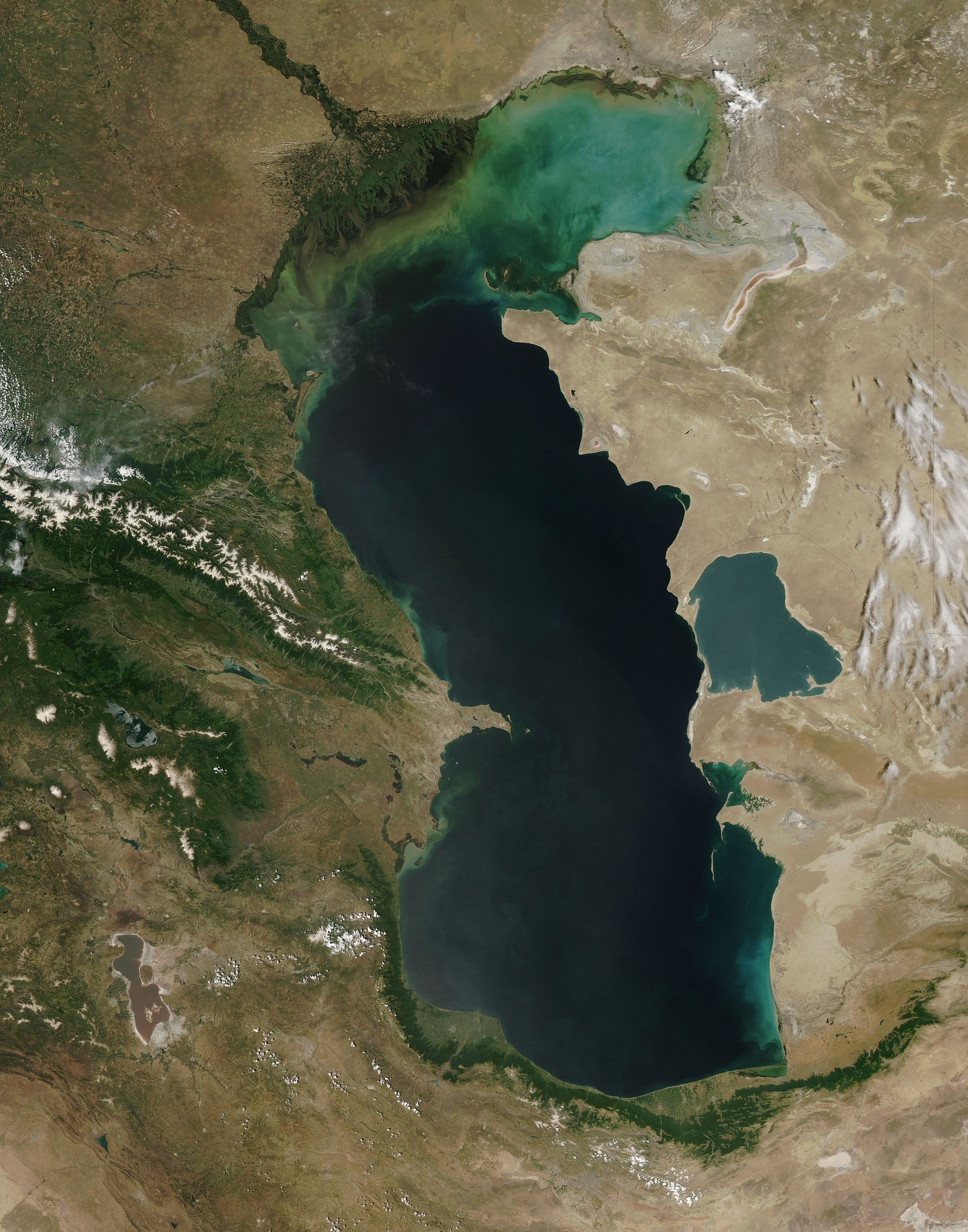
Sat between two continents, Europe and Asia, the Caspian Sea is, appropriately, the largest lake in the world. The lake’s shoreline stretches from 4,300–4,400 miles long, and it touches Kazakhstan, Turkmenistan, Iran, Azerbaijan, and Russia. While it spans 43,550 square miles, the surface area depends largely on the season and weather patterns, as evaporation is a huge factor in declining water levels. That being said, the lake’s primary water source is the Volga River — contributing to over 80% of inflows. Additionally, water levels are highest during the spring, when the snow melts and flows into the Volga.
While the world knows it as the Caspian Sea, this inland sea is actually a lake. Stories, legends, and myths differ, but tales say that early Greeks encountered the area, and the vastness of the body of water led them to believe that it was a wide, open sea. The high salinity of the water contributes to this theory. Many cultures and civilizations have relied on the Caspian Sea’s water and fish populations. Unlike the rest of dry Iran, their coast on the Caspian Sea is lush and verdant. The western and north-western shores are temperate, and the eastern shores are vastly arid.
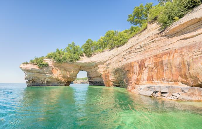
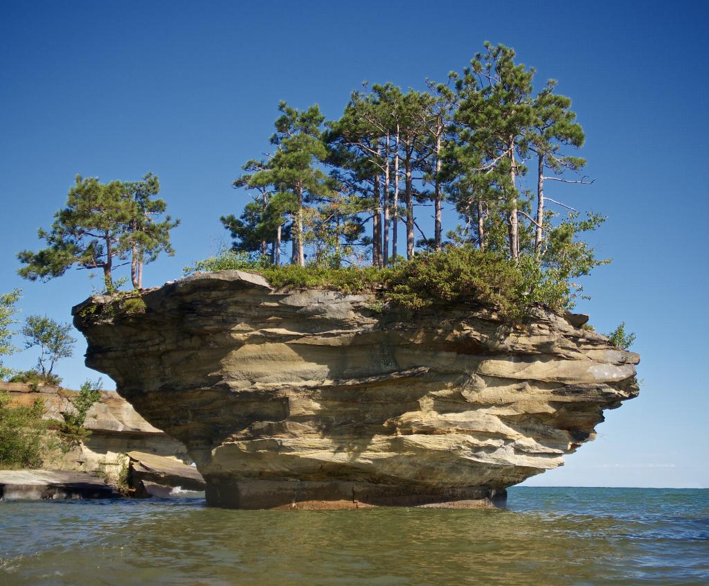
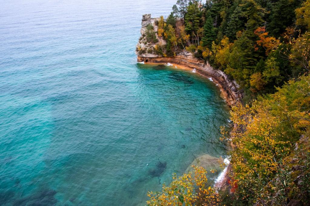
Lake Superior
Largest among the American Great Lakes, Lake Superior’s 2,725-mile shoreline dominates the region. This chief among the Great Lakes borders Ontario, Minnesota, Wisconsin, and Michigan. Not only the largest lake in the United States, it’s also the largest freshwater lake — 10% of the world’s surface freshwater — in the world and the third-largest by volume. A testament to its size and depth, which averages 483 feet, the other Great Lakes could fit within Lake Superior with plenty of room to spare.
Lake Superior is classified as a glacial lake, meaning that it resulted from the movement and melting of glaciers about 1.2 billion years ago. Later, the native peoples of the area, today called the Ojibwe, called the lake “Gitchi-Gami,” which means “Great Sea.” As for modern times, Lake Superior holds within it at least 350 shipwrecks. The lake became a mainstay for anglers and fishermen, and it contains 88 species of fish. Lake Superior’s primary inflow is the Nigipon River in the north, and it flows out of the St. Mary’s River into Lake Huron.
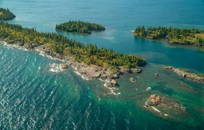
Lake Huron
The second-largest of the American Great Lakes, Lake Huron is situated between the state of Michigan in the United States and the province of Ontario in Canada. One of the defining features of Lake Huron is its extensive shoreline, stretching over 2,380 miles. From rocky cliffs to sandy beaches, it offers a variety of scenic vistas and recreational opportunities. Towns and harbors dot the coast, attracting tourists and nature enthusiasts who enjoy activities like swimming, boating, fishing, and exploring picturesque coastal areas.
Its origins can be traced back to the retreat of glaciers over 10,000 years ago during the last Ice Age. The lake played a significant role in the development of early Indigenous cultures, serving as a vital waterway for transportation and trade. European exploration and colonization in the 17th century brought French and British influences to the region, leading to the establishment of fur trading posts and the eventual growth of settlements along the lake’s shores.
Lake Victoria
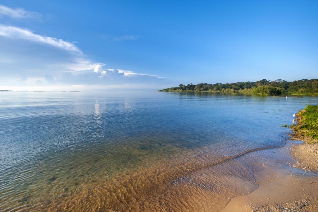
It takes about three months for the cool waters from Lake Victoria to travel to the Nile Delta and the Mediterranean Sea. Lake Victoria, Africa’s largest lake, is a member of what historians dub the “African Great Lake” and boasts an impressive shoreline between 2,100–2,400 miles. Not content with being the largest lake in Africa, it’s also the world’s largest tropical lake and second-largest freshwater lake. Lake Victoria is home to over 60 islands, called the Sese Archipelago, and 200 species of fish, of which tilapia is highly favored.
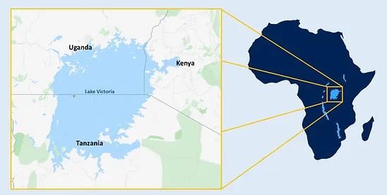
Lake Victoria, also known as Ukerewe and Victoria Nyanza, is fed by the Kagera River and regular rainfall. This water travels through the Vicotria Nile in the north into Lake Kyoga, and then it flows into Lake Albert, the White Nile, and finally into the Nile proper. The lake can be divided into three distinct regions: south, north, and northeast. These regions correspond to Uganda, Tanzania, and Kenya — the nations that call the lake their own. Furthermore, Lake Victoria contributed greatly to the growth of these nations, and Uganda’s capital, Kampala sits on the northern shore.
So, now you know your next jet-setting lake vacation destination. But for a better idea of the lakes with the longest shorelines in the United States—including one anomaly— check out our other blog!